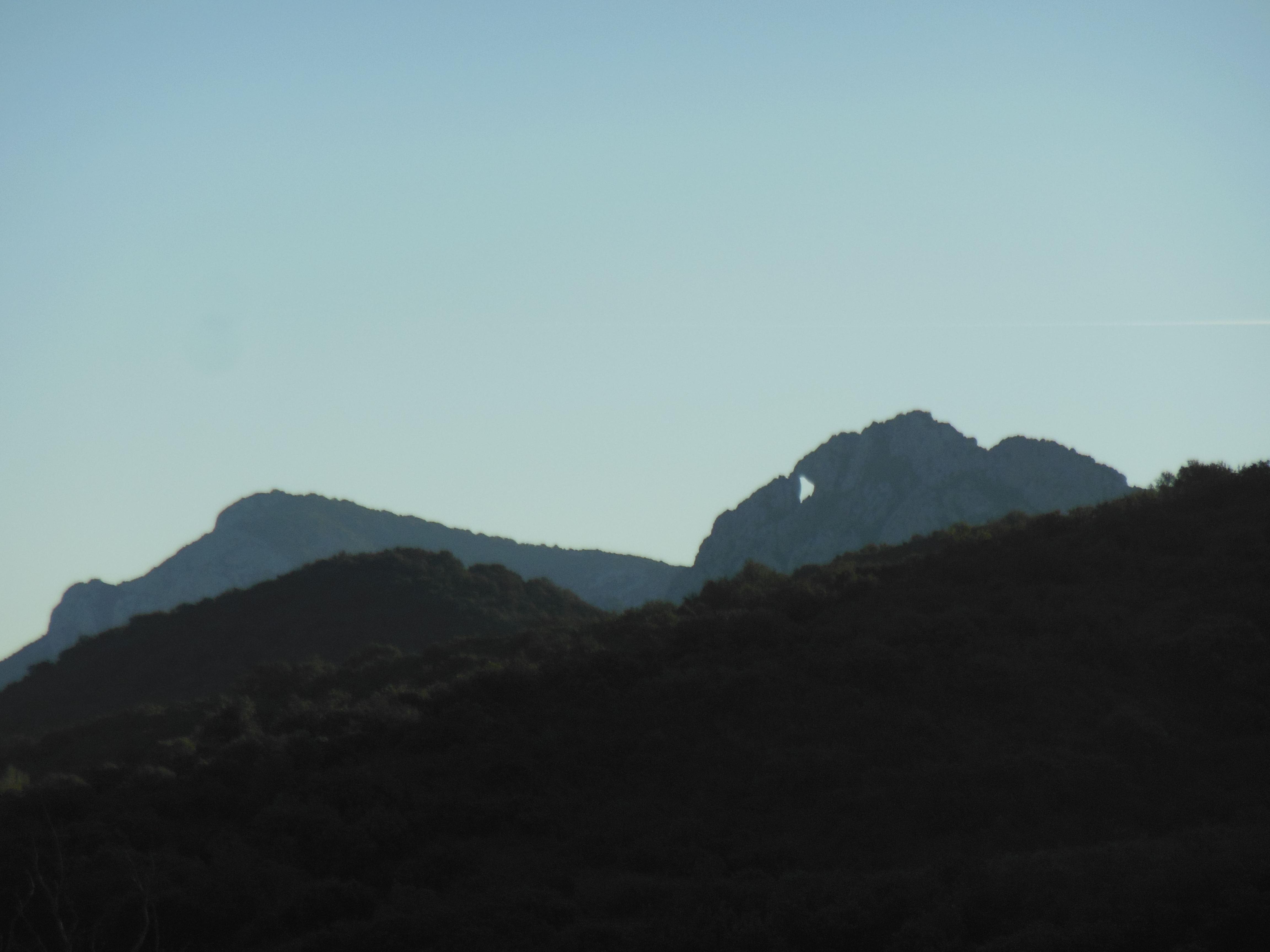
Today I join the local walking group on their walk up to L’Arche Perdue, the hole in the rock above Maury. Last month I wrote about that remarkable rock formation and my hope to visit it. This is the walk that was scheduled for last month but cancelled due to high winds. Today is also windy but we do it anyway. I drive to the meeting point at Maury, half-way between Quillan and the Mediterranean coast. We have friends at Maury, very close to the meeting point, so going there brings back happy memories of pit stops and a summer evening barbecue three years ago.
Maury is in a parched valley with razor-sharp hills on north and south flanks. Just looking at the landscape makes me thirsty. I imagine Manon-des-Sources-style feuds over water rights in this desiccated land.
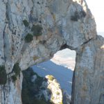
From the road between Saint Paul de Fenouillet and Maury I spot the amazing hole. It is a thumb and forefinger pinching a grain of sand. It is Godzilla locked in battle with a would-be Godzilla. It is an anteater extracting tidbits from an anthill.
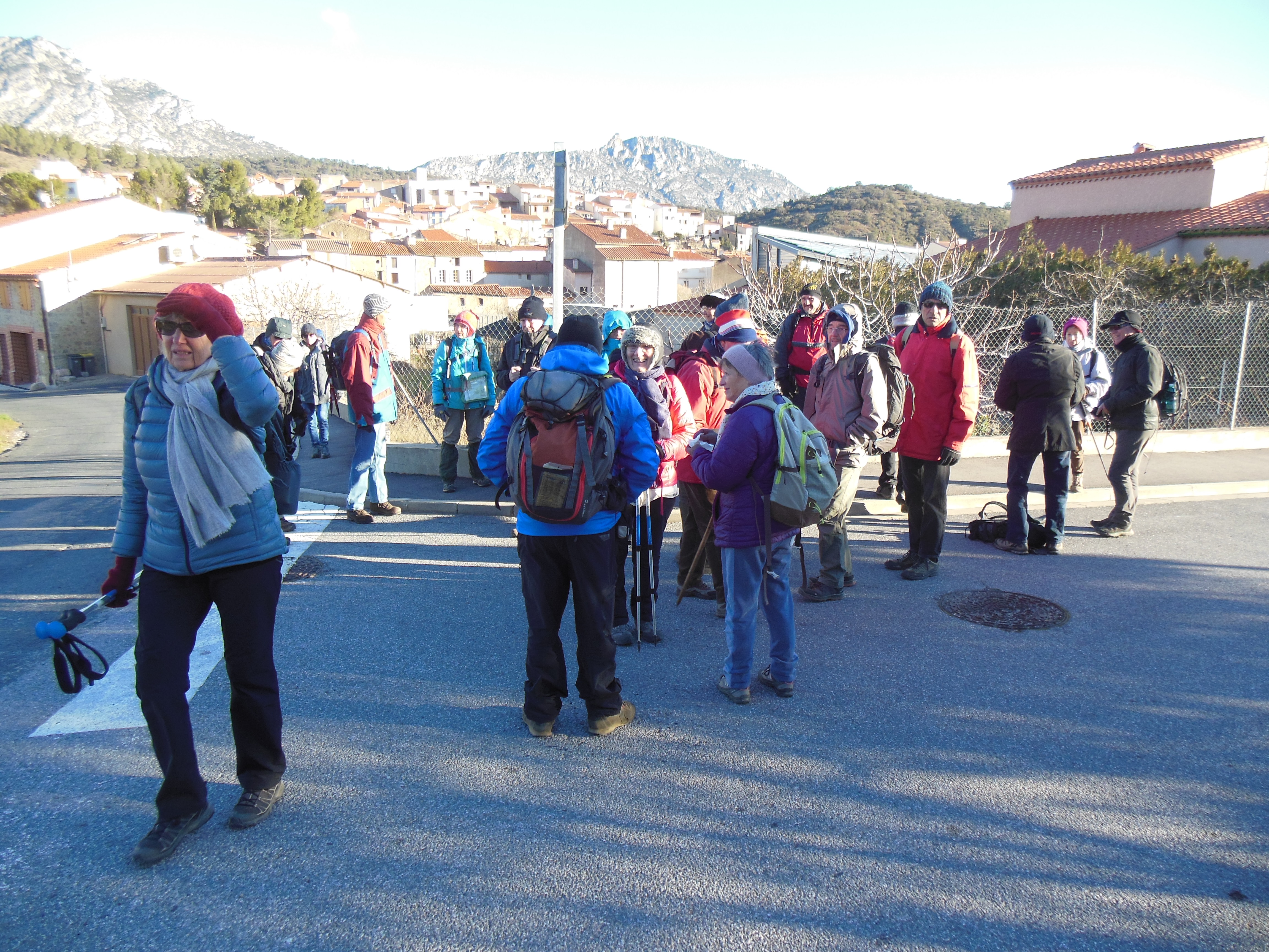
We gather for the start. The wind is strong and cold. Everyone seems to have appropriate clothing. Everyone but me. I’m a layer short of what I should be wearing. I had scoffed at the prospect of wind. I haven’t felt wind in a month in this region. And I’m from Wellington – I would not be bothered by any ‘wind’ around here. Someone asks me, in a concerned tone of voice, if I’m warm enough. Luckily I have an extra layer back in the car. I return there to add the polyprop long-sleeve top, and now I’m fine. Up we go.
Someone shows me our route on a map. I try to relate that to the cliffs above us. we can’t possibly be going up there.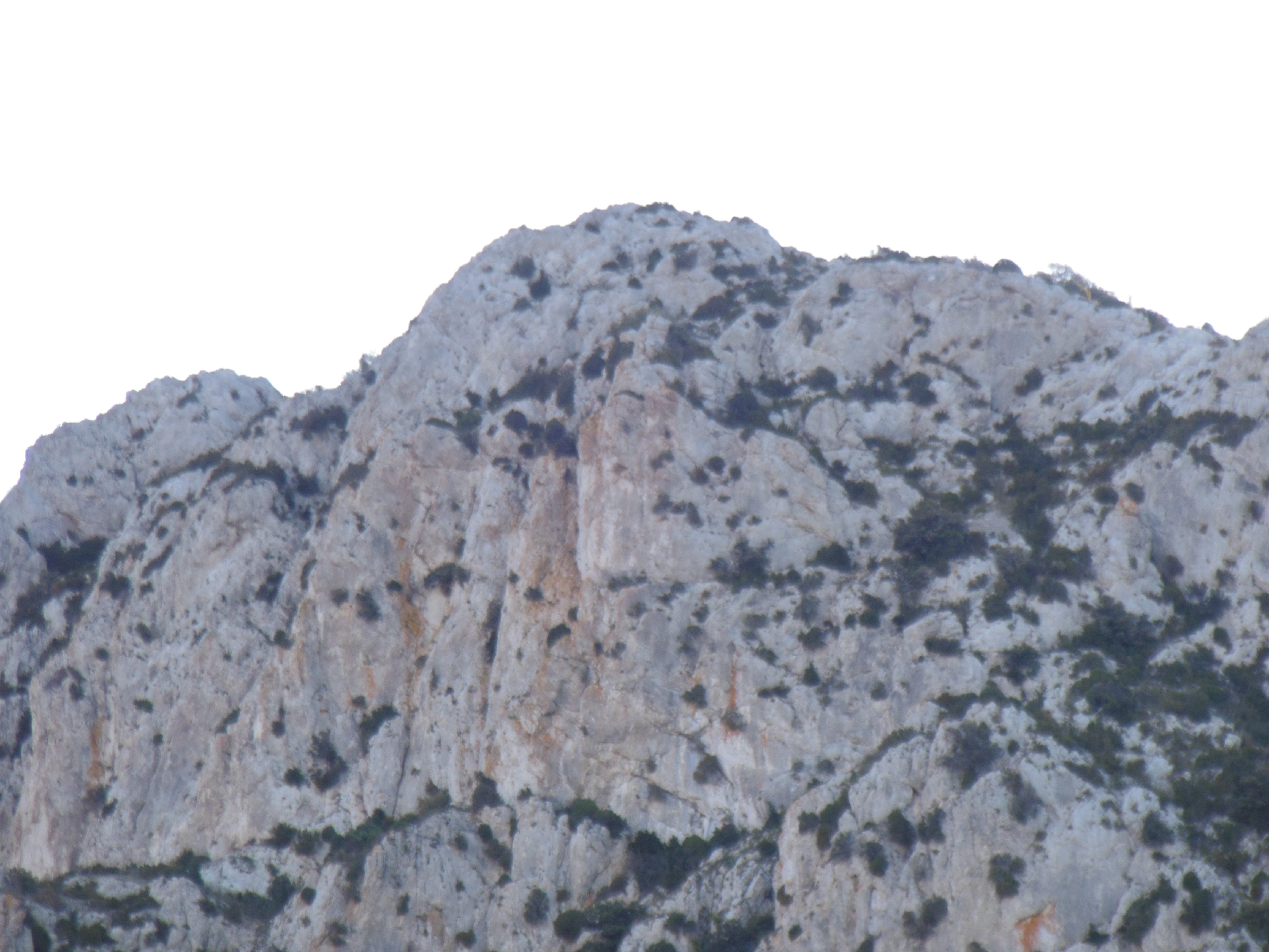
But no, we follow an unsealed road up the slope to a col. From there we get stunning views to the south – the Pyrenees proper. Pic du Canigou is the mountain that stands out most in our view of the eastern Pyrenees. We comment on how little snow there is. It is January, after all. To the north we see the dry ridge with Queribus castle perched on it. I can never decide whether the people who built that castle were geniuses or fools. Either way, it is a technically impressive achievement.
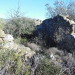
There is a ruin of an old stone hut at the col. It reminds me of the old goldminers’ cottages in Central Otago.
The south side of the hill is more sheltered from the wind. We leave the road to clamber back up to the ridge. There is a warning sign on a post but I can’t understand what it says. I ask someone to translate for me, but they don’e seem sure either. Or perhaps it’s just not important. Something about protecting the environment and symbols for four things that are forbidden but the symbols have faded to nothing. Dogs? Fires? Bulldozers? 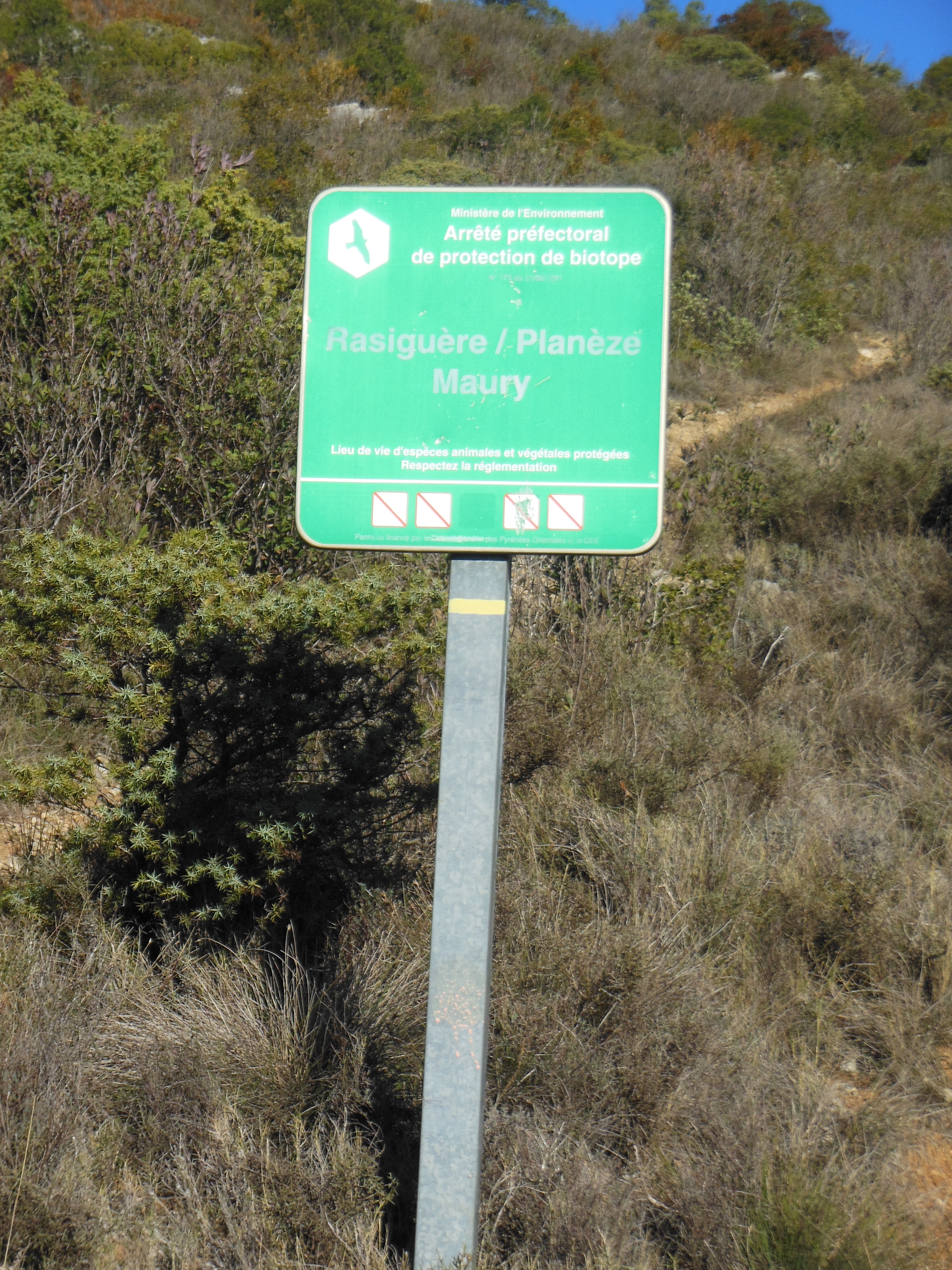
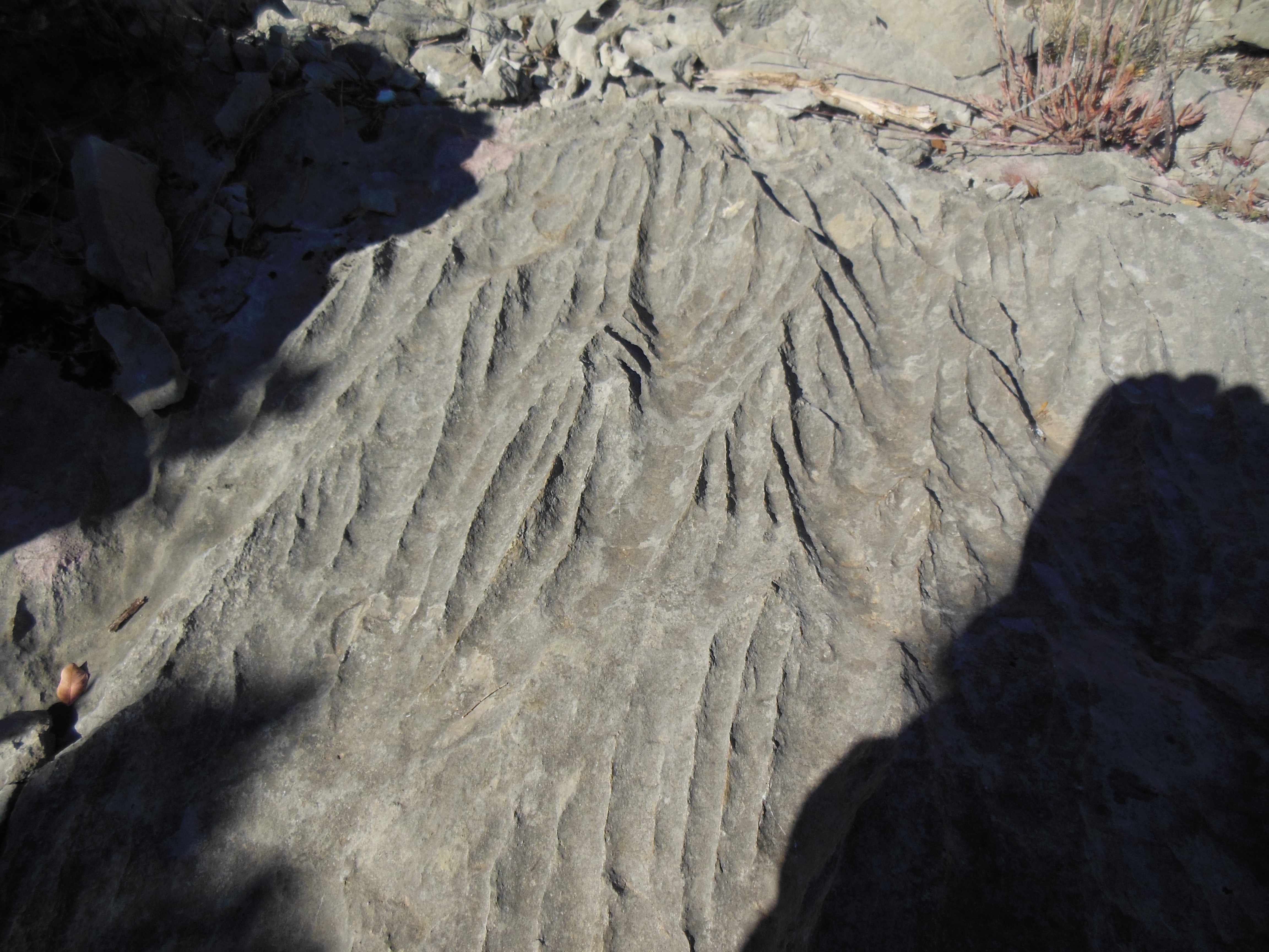
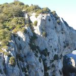
It’s rough ground – loose stones and scrubby vegetation. Many of the stones show an unusual pattern of grooves that I presume was caused by fluvial action.
We reach the spot where we can view l’Arche Perdue – the lost ark. We cannot go any closer because it’s on an inaccessible cliff-face. But the view from here is good. Mission accomplished.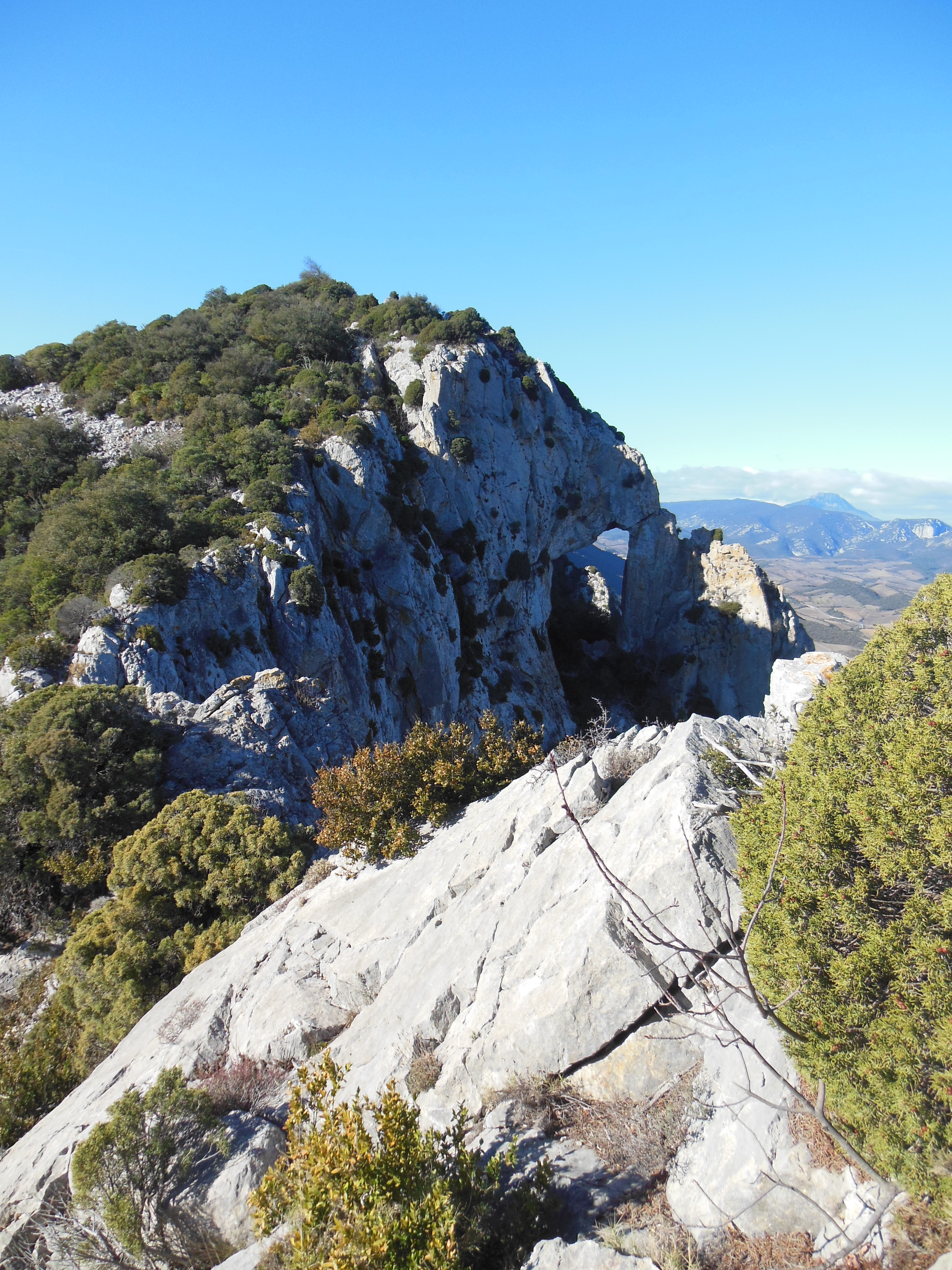
We return to the col for lunch in the sun and gusty wind. There is a well or something on the col. For what purpose? It’s a long way from anywhere. Someone says it leads all the way to New Zealand.
I slip a couple of times on the steep track down to Maury. No worries. It’s been a good day.


Queribus? Work of genius. No question.
Nice. Always wonder about that rock when we drive by nice to know how to walk to it.
I’m glad you have noticed it. It’s easily missed, I think.