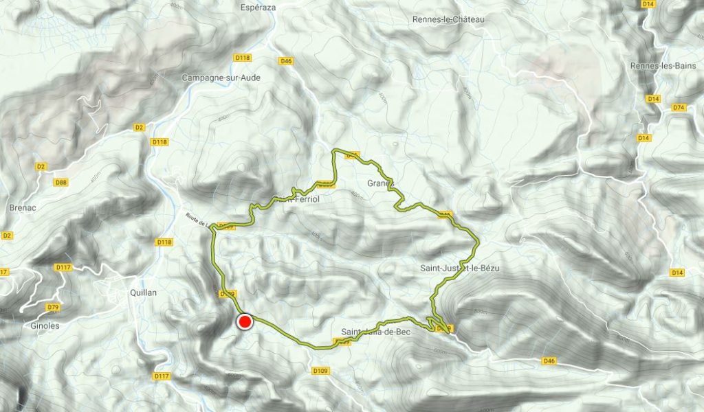
Today’s outing on foot took me along quiet roads in a rural part of France’s Aude region in the foothills of the Pyrenees. The area is gorgeous in the winter sun. This would make great cycling country. Walking, it would be too far for most people. It’s a nice drive, especially if you’re not confident on French roads – almost zero traffic – but take it slow, as the roads are narrow. I jogged it and loved it. At 19 km, it’s a long run for me – further than my jet lag-busting trail run a few weeks ago.
Starting at Laval, I head east on the D109/Route de Laval. The road is straight for 1.5 km and here I always imagine I’m on an old Roman road. For most of history this must have been the main route from this area out to the Mediterranean, until the spectacular road was blasted through the gorge beside the river Aude in the next valley to the south 300 years ago.
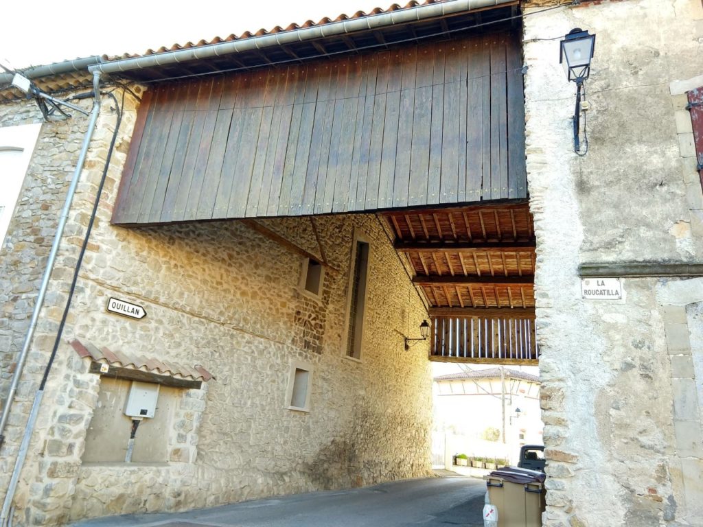
I reach St Julia de Bec on the D609 road. This village deserves a few minutes exploration. The village is small but is stuffed full of features: the lavoir, a font, an ancient church and bell tower, and the through-road is covered with a high roof. Why the cover? Perhaps it used to be a covered market space.
Next point of interest is Moulin du Roc. This hamlet consists of a large hostel – never much sign of life, although I have only seen it in the winter – and one other house. The location holds particular interest for me because it is the location of an amusing travelogue book that I read a year ago: The Cook, the Rat & the Heretic: Living in the Shadow of Rennes-le-Chateau by Hugo Soskin.
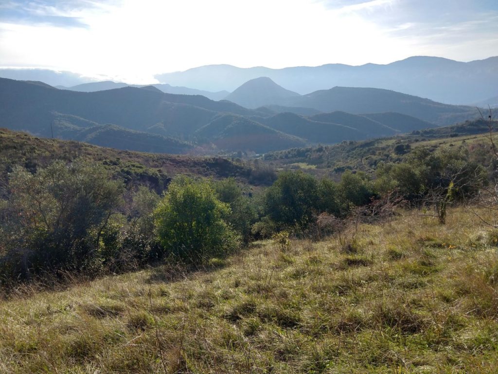
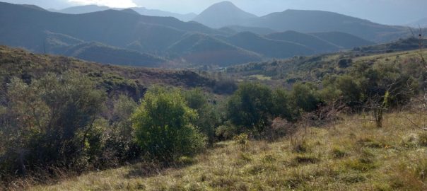
I zig-zag up the hill, past a small space observatory, then turn left onto the D46 to St Just. This section has spectacular views west across the valleys and hills to the mountains further into the Pyrenees. I see the cliffs above Quillan and think of the vultures that roost there. Today, all day, a cloud cap overflows from the high plateau of the Pays de Sault, spilling partway down towards Quillan. I’m in warm afternoon sunshine but it must be a cold day up there under the thick fog at Espezel, Balcaire, Belvis and other towns on the plateau.
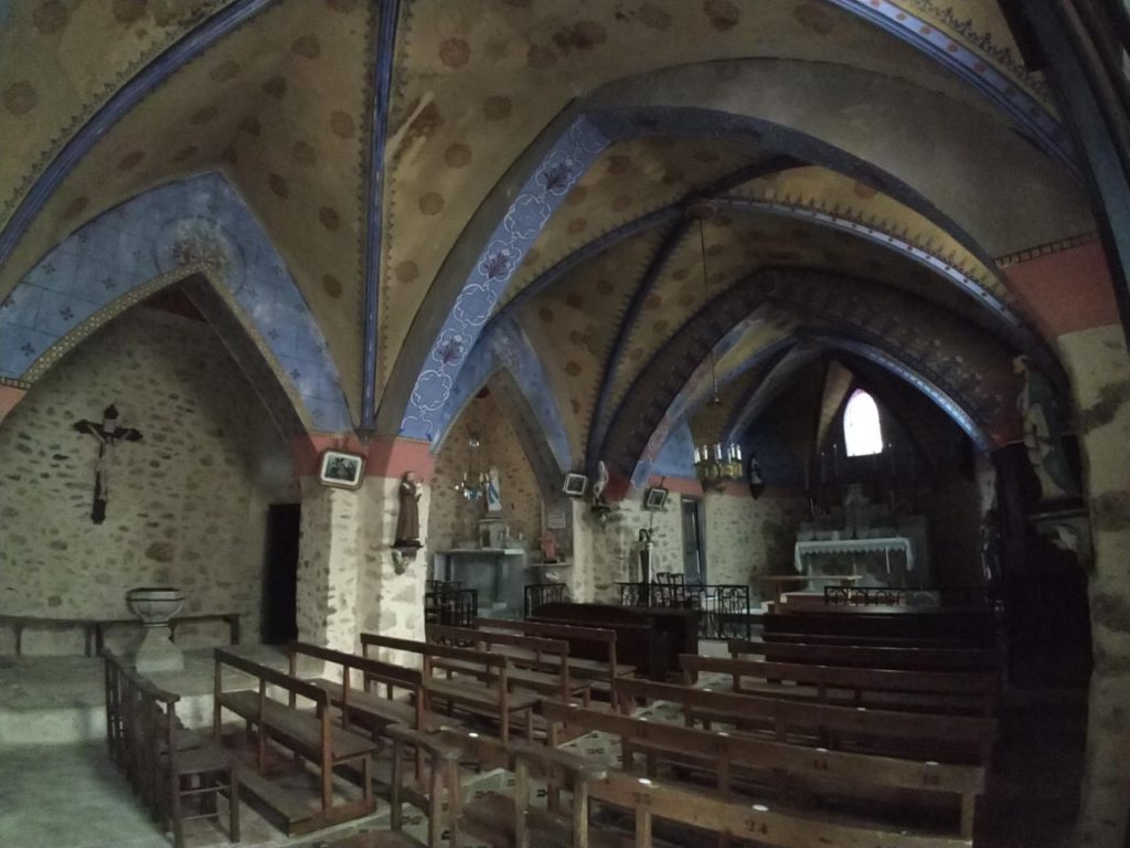
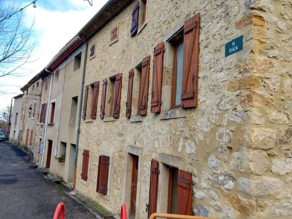
The next village is St Just. Like every village and town on this route, it’s gorgeous. I can see the interior of the old church through the iron bar door. The main square is labelled La Placa. Is that Catalan or Occitan? It’s not French anyway.
The route St Just to St Julia is part of an old pilgrim route that links with the main routes to Santiago de Compostela. I don’t see any pilgrims today. In fact, I don’t see anyone.
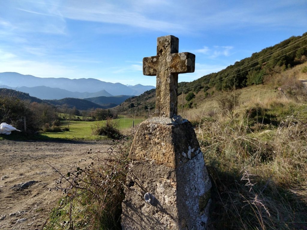
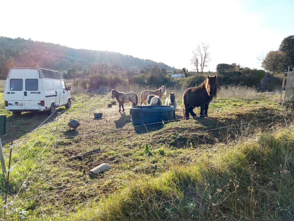
It was a significant climb up from Moulin du Roc to St Just, skirting the slopes of Mazuby, but now it’s a gentle downhill through a forest to Granes. An old dog rests in the middle of the road at Granes. It seems to be blind and deaf and fails to notice me jogging by. The road between St Julia and Granes has barely any traffic – bliss! In Granes the only traffic I see is three people riding horses. Later, near St Ferriol, I see kids riding horses in their large backyard.
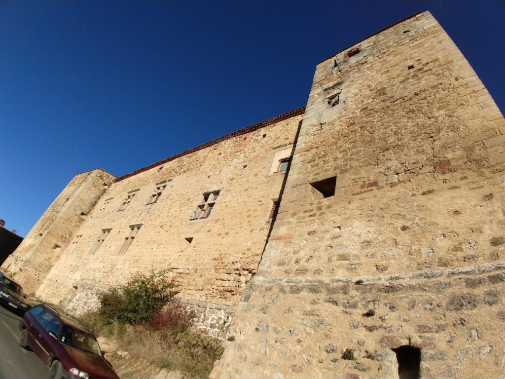
Three more kilometres gets me to ridge-top St Ferriol, with it’s grand views and large blocky chateau. I imagine my kids building something like it in Minecraft. What views they have from St Ferriol – north to Rennes le Chateau and west and south to the Pyrenees. From St Ferriol my route is 2 kilometres downhill to the intersection with the D109 Route de Laval, near the swimming lake at Parc du St Bertrand then 3 kilometres up the St Bertrand valley to finish back at lovely Laval.


Well, chapeau on such a long run, and such an interesting one. Thanks for taking us along!
Thanks. I bet you know some of those villages better than I do.